mail_outline sales@mediastorehouse.com
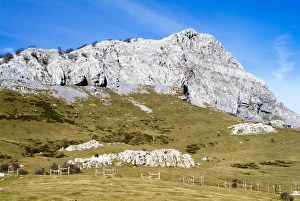
Gorbea Natural Park. Lekanda mount. Biscay province. Basque CountryGorbea Natural Park. Lekanda mount. Biscay, Basque Country
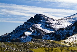
Gorbea Natural Park. Aldamin mount. Biscay province. Basque CountryGorbea Natural Park. Aldamin mount. Biscay, Basque Country
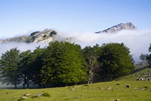
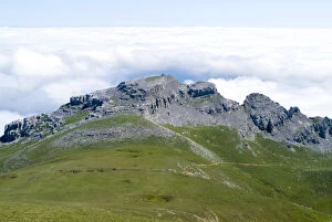
Gorbea Natural Park. Lekanda mount between the fog. Biscay province. Basque CountryGorbea Natural Park. Lekanda mount between the fog. Biscay province, Basque country, Spain
Saint Vincent peak. Ramales de la Victoria. Cantabria. Spain
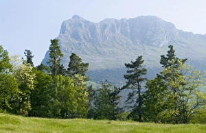
Gorbea Natural Park. Aldamin mount view from Gorbea mount. Biscay province. Basque CountryGorbea Natural Park. Aldamin mount view from Gorbea mount. Biscay province, Basque country, Spain
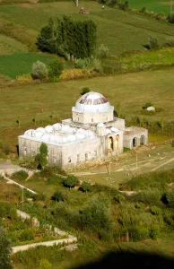
Leaden Mosque, built in 1774. Shkodra. Republic of AlbaniaLeaden Mosque, built in 1774. Shkodra, Albania
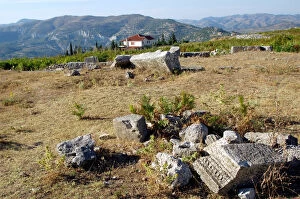
GREEK ART. REPUBLIC OF ALBANIA. View of BYLLIS archeological site, an old city foundedGreek Art. Albania, View of Byllis archeological site, an old city founded by the Illyrians in IV century BC
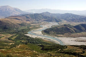
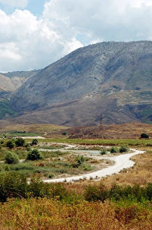
REPUBLIC OF ALBANIA. Vjose valley view near the ruins of Byllis. Sequence withAlbania, Vjose valley view near the Ruins of Byllis. Sequence with 353-8013
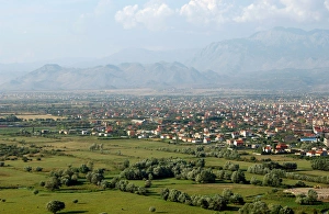
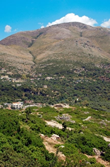
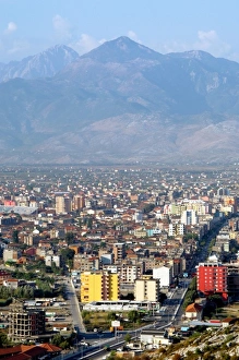
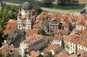
Republic of Albania. Shkodra. General viewAlbania, Shkodra. General view
REPUBLIC OF ALBANIA. Saranda. Lake in the area of the source Blue EyeAlbania, Saranda. Lake in the area of the source Blue Eye
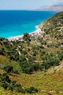
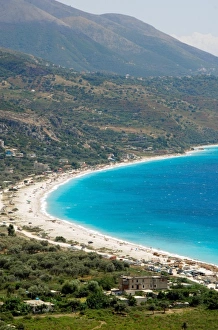
REPUBLIC OF ALBANIA. Qeparo beach with mountainous landscape in the backgroundAlbania, Qeparo beach with mountainous landscape in the background
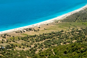
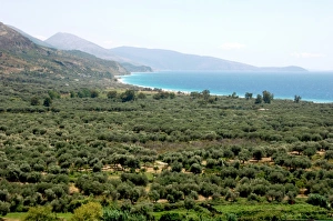
Republic of Albania. Olive grove next to Borsh beachAlbania, Olive grove next to Borsh beach
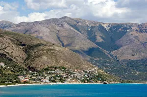
Republic of Albania. Mountain landscape next to Borsh beachAlbania, Mountain landscape next to Borsh beach
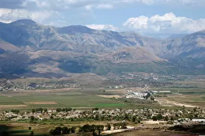
REPUBLIC OF ALBANIA. MESOPOTAM. Landscape around the cityAlbania, Mesopotam. Landscape around the city
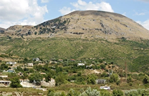
REPUBLIC OF ALBANIA. Landscape near Saranda with the mountains Gjere in the backgroundAlbania, Landscape near Saranda with the mountains Gjere in the background. View from Lekuresi Castle
REPUBLIC OF ALBANIA. Landscape around MesopotamAlbania, Landscape around Mesopotam
REPUBLIC OF ALBANIA. Drymades beach near Dh `rmiu on the Ionian coast, north of HimaraAlbania, Drymades beach near Dhermi on the Ionian coast, north of Himara. View from the mountain pass
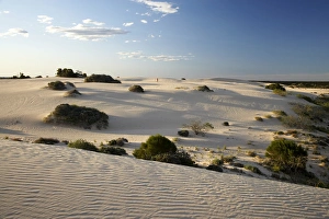
Person and Sand Dunes, Mungo National Park, Outback New South Wales, Australia
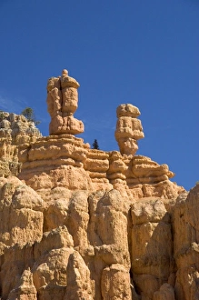
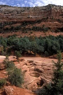
Sandstone rock formation in the Red Canyon of the Dixie National Forest near Bryce Cayon National Park, Utah
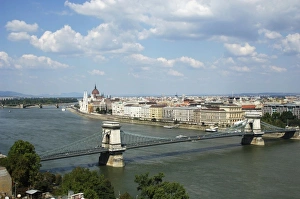
Hungary, Budapest. View of Chain Bridge over Danube river
Athens. Panoramic view of the Acropolis at night. Attica. Central Greece
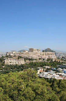
Panoramic view of the Acropolis and LyCabettos Hill from Philapoppos Hill. Central Greece, Attica, Athens
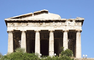
Greek Art. Temple of Hephaestus or Theseion. The Doric temple, which stands at the western end of the Agora, on the hill of Agoraios Kolonos. Erected by the architect Ictinos (449-415 BC)
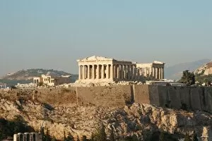
Athens. Panoramic view of the Acropolis. Parthenon. Attica. Central Greece
Red rock country with its hiking trails surrounding Sedona, AZ
Albania, Shkodra. General view
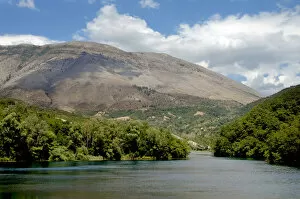
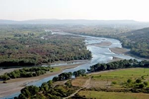
Albania, Shkodra. Drinit and Kir river flowing into the river Buna
Albania, Piqueras. Bunets beach
Albania, Olive grove next to Borsh beach
Albania, Borsh Beach
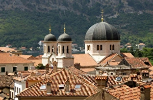
Montenegro, Kotor. View of the city with the church of St. Nicholas. In 1979 UNESCO declared World Heritage the whole Natural, Cultural and Historical region of Kotor
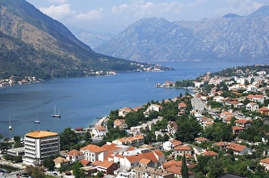
Montenegro, Kotor. View of the city along the fjord. In 1979 UNESCO declared World Heritage the whole Natural, Cultural and Historical region of Kotor
Montenegro, Kotor. Partial view of the city with the church of St. Nicholas. In 1979 UNESCO declared World Heritage the whole Natural, Cultural and Historical region of Kotor
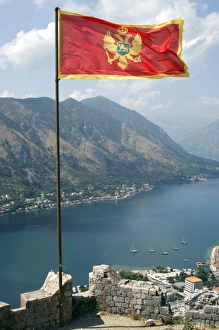
Flag of the Republic of Montenegro with the fjord at the background. Kotor
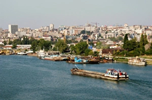
Serbia, Belgrade. Town and Sava River
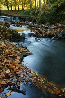
Stream with Fall Leaves in the Forest of Dean, UK
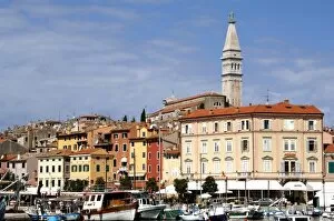
Croatia. Rovinj. View of the city with the St. Euphemia. Church. Istrian Peninsula
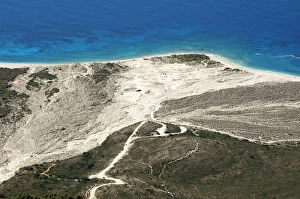
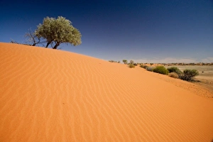
Sand Dunes, Strzelecki Track, Outback, South Australia, Australia
Strzelecki Track, Outback, South Australia, Australia
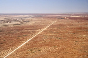
Oodnadatta Track, and Old Ghan Train Line, near William Creek, Outback, South Australia, Australia - aerial
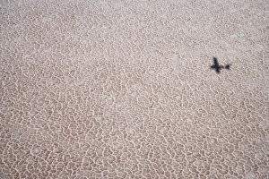
Shadow of Plane on Lake Eyre Salt Lake (15m below sea level), Lake Eyre National Park, Outback, South Australia, Australia - aerial
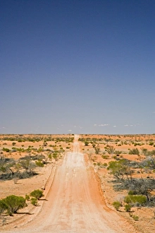
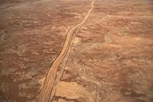
Desert Track near William Creek, Outback, South Australia, Australia - aerial
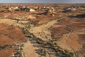
Painted Hills, near William Creek, Outback, South Australia, Australia - aerial
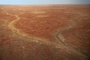
Dry River Bed near William Creek, Outback, South Australia, Australia - aerial
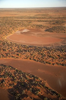
Dry Lakes near William Creek, Outback, South Australia, Australia - aerial