mail_outline sales@mediastorehouse.com
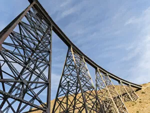
La Polvorilla, landmark of the Altiplano near San Antonio de los Cobres. The bridge is the final stop for the tourist train Tren a las Nubes. South America, Argentina (Editorial Use Only)
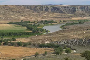
Missouri River at Judith Landing, Upper Missouri River Breaks National Monument, Montana
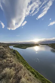
Sunset on the Missouri River near Judith Landing, Upper Missouri River Breaks National Monument, Montana
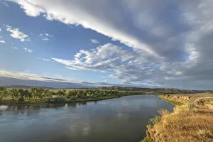
Missouri River near Judith Landing, Upper Missouri River Breaks National Monument, Montana
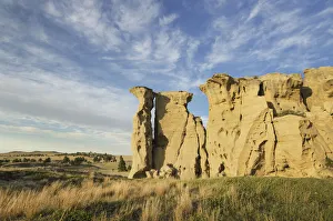
USA, Montana. Sandstone pillars or hoodoos rising from the prairie
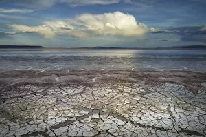
Geometric patterns in drying mud, Alvord Lake, a seasonal shallow alkali lake in Harney County, Oregon
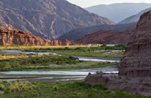
Quebrada de las Conchas also called Quebrada de Cafayate. A canyon with colorful rock formations created by Rio de las Conchas. South America, Argentina
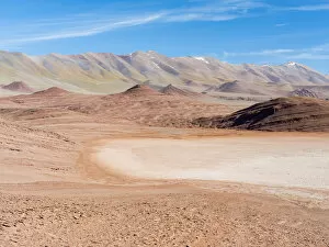
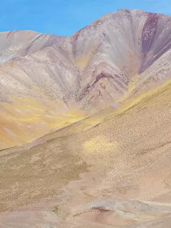
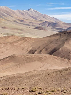
Desierto del Diablo. The Argentinian Altiplano along Routa 27 between Pocitos and Tolar Grande. South America, Argentina
Landscape near the salt flats Salinas Grandes in the Altiplano, Argentina
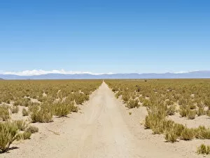
The track RN 38. Landscape near the salt flats Salar Salinas Grandes in the Altiplano, Argentina
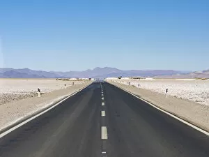
Routa 52 is crossing the Salar towards Chile. Landscape on the salt flats Salar Salinas Grandes in the Altiplano, Argentina
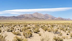
The mountains of the Altiplano, near the village of Tolar Grande, close to the border of Chile. South America, Argentina
The Argentinian Altiplano along Routa 27 between Pocitos and Tolar Grande. South America, Argentina
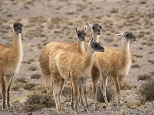
Guanaco (Lama guanicoe), National Park Los Cardones near Cachi. Argentina