mail_outline sales@mediastorehouse.com
Road Sign on the Beartooth Highway in Wyoming
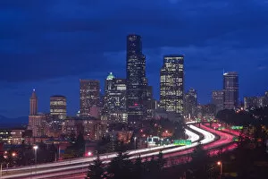
USA, WA, Seattle, Twilight Emerald City
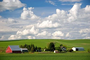
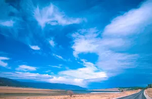
Eastern washington wheat farm with rolling hills and clouds
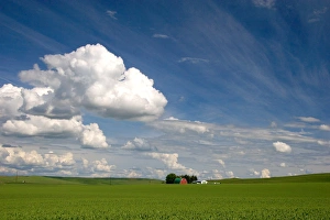
Eastern washington pea farm with rolling hills and clouds
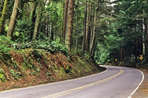
Forested Chuckanut Drive near Bellingham Washington
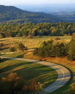
USA, Virginia, Patrick County, The Blue Ridge Parkway (Large format sizes available)
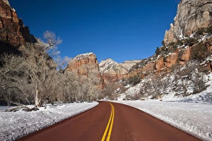
USA, Utah, Zion National Park. Zion Canyon Scenic Drive, winter
North America, USA, Utah, Capitol Reef NP HighwayUSA, Utah, Capitol Reef NP Highway
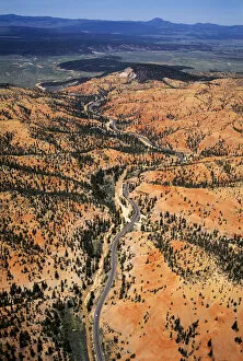
Aerial view of Utah Highway 12 snaking through Red Canyon between town of Panguitch, Utah and Bryce Canyon National Park
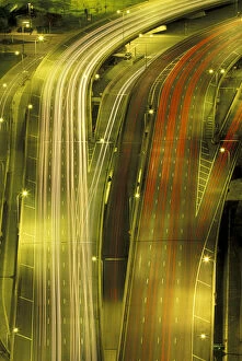
Aerial view of the freeway interchange of Interstate 45 and the State Highway Beltway 8 in Houston, Texas
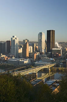
USA-Pennsylvania-Pittsburgh: Downtown from Grandview Park / SunriseUSA, Pennsylvania, Pittsburgh: Downtown from Grandview Park / Sunrise
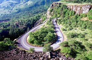
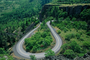
Hairpin turn; twisting; curve; Columbia river highway, Oregon; road; switchbackHairpin curve, Columbia river highway, Oregon
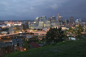
USA-Ohio-Cincinnati: Downtown View from Mt. Adams Neighborhood / Pre-DawnUSA, Ohio, Cincinnati: Downtown View from Mt. Adams Neighborhood / Pre, Dawn
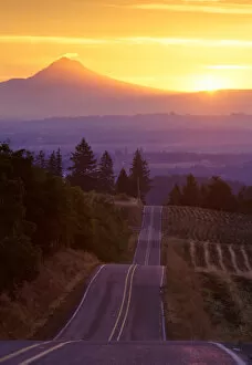
The warm glow of sunrise over Mt. Hood taken from an undulating country road in Washington County, Oregon
NA, USA, Oregon. Horseshoe bend of highway 30 from Rowena Plateau
USA, Oregon, Sisiyou National Forest (Large format sizes available)
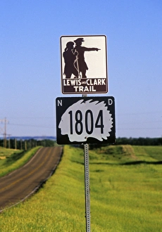
Lewis & Clark Trail in North Dakota
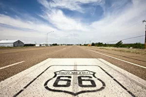
USA, New Mexico, Tucumcari, Route 66 marker on highway
New Mexico. Road sign along historic Route 66 New Mexico
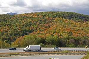
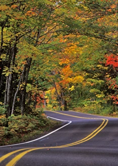
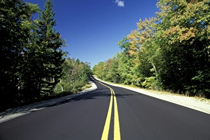
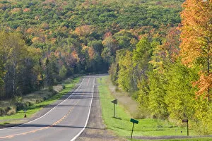
Fall foliage along interstate 89 in Sullivan County, New Hampshire, USA
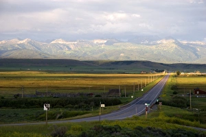
USA-Nevada-Indian Springs: The Spring Mountains and US Route 95USA, Nevada, Indian Springs: The Spring Mountains and US Route 95
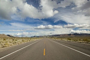
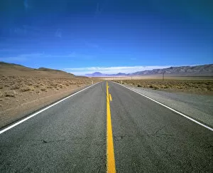
USA, Nevada, Lerlach. Highway 447 near Gerlach in Nevada runs through a desolate part of the country
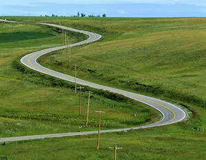
USA, Montana, Browning. A rural righway snakes over the countryside near BrowningUSA, Montana, Browning. A rural highway snakes over the countryside near Browning, Montana
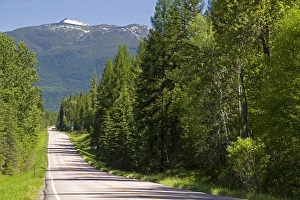
Montana Highway 83 near Kalispell, Montana
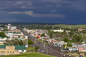
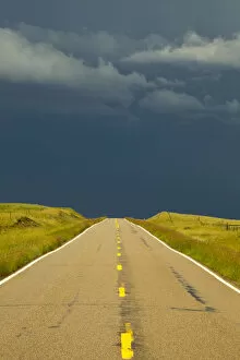
Looking down onto the town of Havre after a passing thunderstorm in Havre, Montana, USA
Highway 89 during severe thunderstorm near Browning, Montana, USA
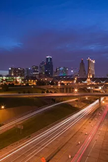
USA, Missouri, Kansas City, City Skyline with Convention Center
Canopy of autumn color over Highway 41 into Copper Harbor UP Michigan
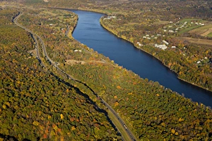
The Connecticut River in Holyoke and South Hadley, Massachusetts. Interstate 91 parallels the river
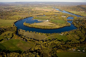
The Oxbow on the Connecticut River in Easthampton, Massachusetts
NA, USA, Maine Coastal Maine; Route 182 in the fallNA, USA, Maine. Coastal Maine; Route 182 in the fall
N. A. USA, Illinois, Chicago Famous Lakeshore Drive looking southUSA, Illinois, Chicago, Famous Lakeshore Drive looking south
USA, Idaho, Bruneau, Road End warning sign on country road
Idaho Highway 33 in Teton County with Teton Mountains near sunset looking east
Weather cold front stratus clouds over Cascade Lake, Idaho. weather, meteorologyNorth America, USA, ID. Weather cold front stratus clouds over Cascade Lake
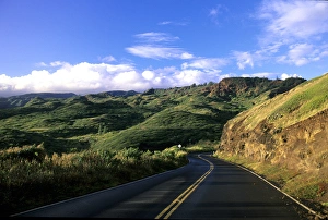
Kahekili highway Maui, Hawaii, USA
USA-WISCONSIN-Redcliff: Lake Superior Shore- Highway 13 / AutumnUSA, WISCONSIN, Redcliff: Lake Superior Shore, Highway 13 / Autumn
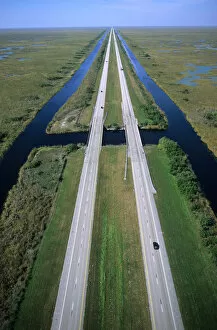
NA, USA, Florida. An aerial view of Interstate 75 alligator alley in the Florida Everglades
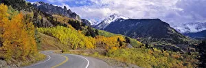
USA, Colorado, Telluride. Highway 145 twists through the San Juan Mountains near Telluride, Colorado
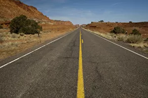
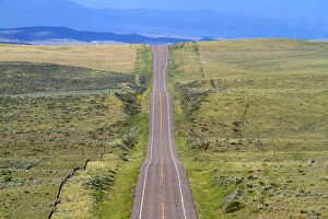
Open road on U. S. Route 40 in western Colorado, USAOpen road on U.S. Route 40 in western Colorado, USA
Colorado, US Hwy 550 (aka Million Dollar Highway), Red Mountain Pass between Ouray & Silverton. San Juan Skyway, Colorados frist scenic byway
USA, California, San Francisco, Potrero Hill, view of downtown and I-280 highway, evening
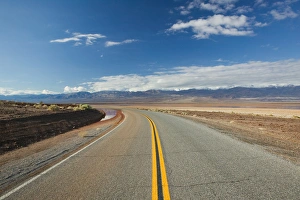
USA-California-Death Valley National Park: Rt. 178 / WinterUSA, California, Death Valley National Park: Rt. 178 / Winter
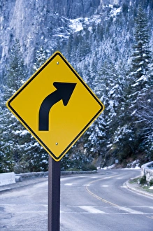
A curve ahead road sign warns visitors entering Yosemite valley on California State Route 41 - Yosemite National Park, California
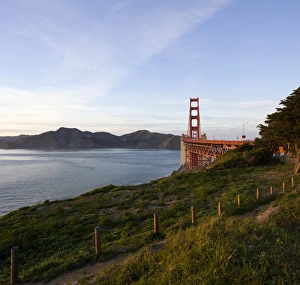
Bay Trail path leading to the Golden Gate Bridge with the Marin Headlands in the distance
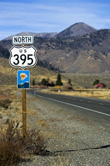
An upward view of a Highway 395 North sign post including a California Scenic Highway sign
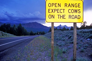
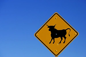
A bull sign on the California Nevada border with a a clear blue sky background
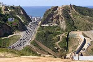
Construction of the border fence that prevents illegal immagrant crossings at the U.S./Mexico border near San Diego, California