mail_outline sales@mediastorehouse.com
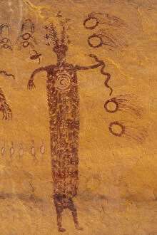
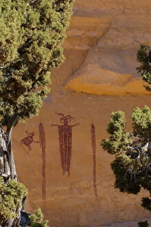
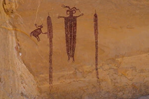
USA, Utah. Head of Sinbad Panel pictographs in San Rafael Swell Recreation Area
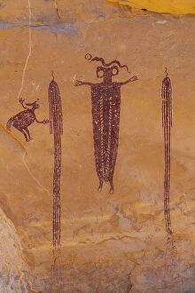
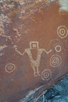
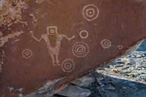
USA, Utah. Juggler Panel petroglyphs in San Rafael Swell Recreation Area
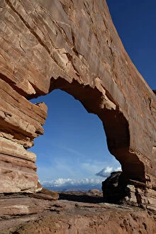
USA, Utah. Jeep Arch and clouds near Moab
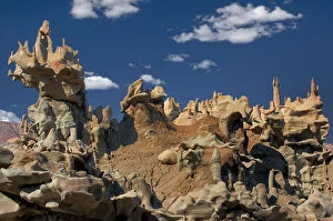
USA, Utah, Fantasy Canyon. Eroded sandstone formations
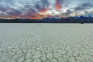
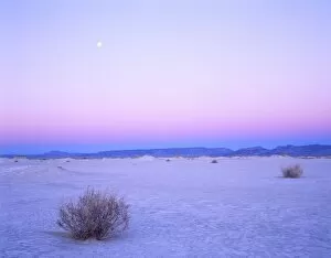
Playa at sunset with Steen Mountain on the Alvord Desert in Harney County, Oregon, USA
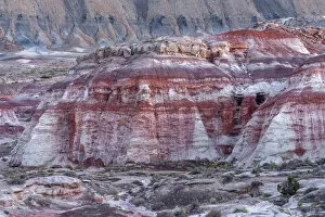
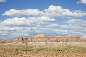
USA, Utah, Wayne County, Nearby colorful layers of bentonite clay and distant shale deposits of North Caineville Mesa at dusk
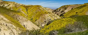
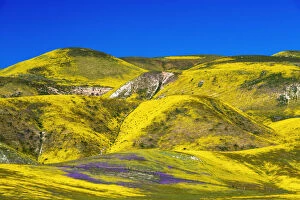
Usa, California. Panoramic landscape of Hillside daisy on hillside, Carrizo Plain National Monument
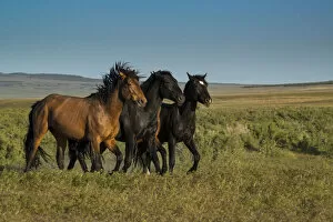
Wild stallions of Onaqui Herd graze along Pony Express Byway near Dugway and Salt Lake City, Utah, USA
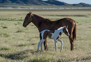
Wild horses, mother and yearling foal graze along Pony Express Byway near Salt Lake City and Dugway, Utah, USA
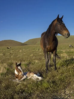
Wild horse mother shows off her yearling foal, Pony express byway near Salt Lake City and Dugway, Utah, USA
Wildflowers in the Temblor Range, Carrizo Plain National Monument, California, USA
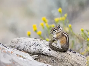
USA, Wyoming, Sublette County, Least Chipmunk with front-legs crossed after groomingWyoming, Sublette County, Least Chipmunk with front-legs crossed after grooming
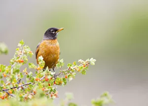
USA, Wyoming, Sublette County, An American Robin sits in a current bush with berriesWyoming, Sublette County, An American Robin sits in a current bush with berries
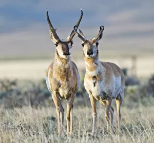
USA, Wyoming, Sublette County, Pronghorn bucks in morning lightWyoming, Sublette County, Pronghorn bucks in morning light
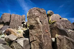
Petroglyph at the Three Rivers Petroglyph Site near Tularosa, New Mexico
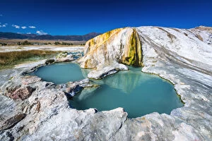
Travertine Hot Springs, Bridgeport, California USATravertine Hot Springs, Bridgeport, California, USA
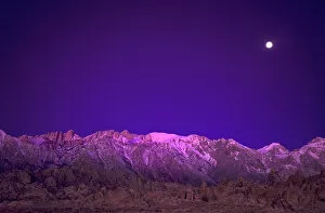
USA, California, Alabama Hills. Moonset over the Eastern Sierra Mountains. Credit as: Dave Welling / Jaynes Gallery / DanitaDelimont
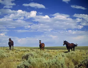
Wild Horses near Farson, Wyoming, Blm land
USA, Wyoming, Sublette County, Cloudy sky over sagebrush and badlands
Rabbitbrush outside of Moab, Utah
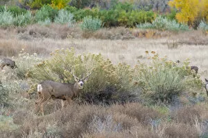
Deer outside of Moab, Utah
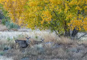
Mother and young Mule deer near Moab Utah
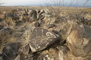
Petroglyphs at Three Rivers Petroglyph Site, Three Rivers, New Mexico USA
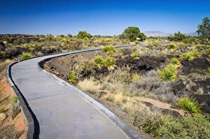
Malpais Nature Trail, Valley of Fires Natural Recreation Area, Carrizozo, New Mexico USA
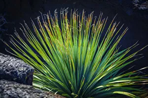
Succulent on the Malpais Nature Trail, Valley of Fires Natural Recreation Area, Carrizozo, New Mexico USA
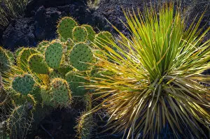
Cactus on the Malpais Nature Trail, Valley of Fires Natural Recreation Area, Carrizozo, New Mexico USA
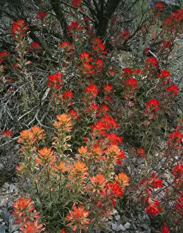
Goshute Creek Wilderness, Nevada. USA. Paintbrush (Castilleja chromosa) along Goshute Creek, Cherry Creek Mountains. Great Basin
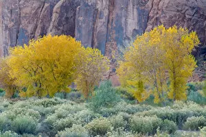
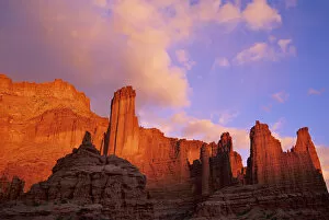
Evening light illuminates the Fisher Towers east of Moab, Utah
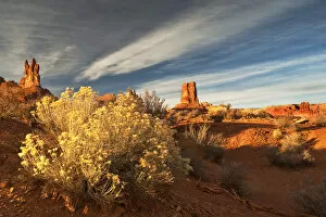
USA, Utah, Valley of The Gods. Eroded pinnacle formations and rabbit bush. Credit as: Nancy Rotenberg / Jaynes Gallery / DanitaDelimont
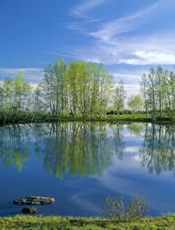
OREGON. USA. Pond reflects aspen & cirrus clouds at sunrise on Steens Mountain. Steens Mountain National Recreation Lands. Steens Mountain Wilderness
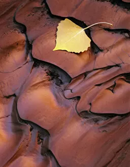
Utah. USA. Detail, fallen cottonwood leaf on sediment recently rippled by flood water. Wash in Poor Canyon. Muddy Creek BLM Wilderness Study Area. San Rafael Swell
Nevada. USA. Moon over alkali playa at dawn. Railroad Valley. Great Basin
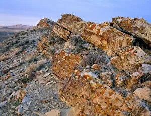
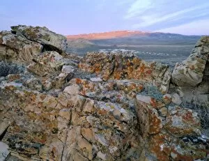
Wyoming. USA. Lichen on tilted rock. Great Divide Basin. Red Desert
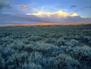
Wyoming, USA. Big sagebrush (Artemesia tridentata) at head of Jack Morrow Creek drainage. Last light of day on Joe Hay Rim along Continental Divide below dissipating cumulonimbus cloud. Red Desert
Wyoming. USA. Lichen-covered rock at sunrise. Great Divide Basin. Bull Springs Rim in distance. Red Desert
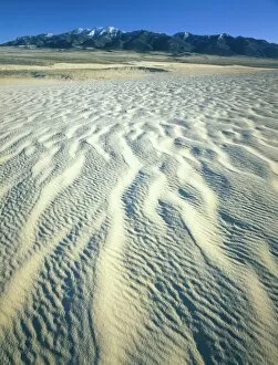
Wyoming. USA. Ripples in dunes below Ferris Mountains. Ferris Dunes, Great Divide Basin. Red Desert
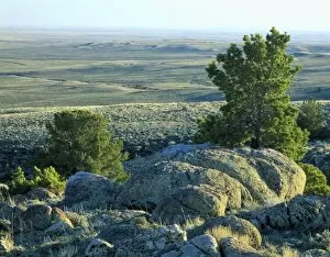
Wyoming. USA. Boulders & limber pines on Continental Divide above Great Divide Basin. Crooks Mountain. Red Desert
Variety of Cactus, Littleleaf paloverde, Compass Barrel Cactus, Ocotillo Cactus, Saguaro Cactus, Sonoran Desert, High Desert Park, Bureau of Land Management, Black Canyon City, Arizona, USA
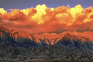
USA, California, Alabama Hills. Clearing storm at sunrise over Mount Whitney and the Eastern Sierras
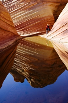
A photographer at the Wave in the Paria Canyon-Vermilion Cliffs wilderness area (MR)
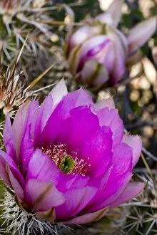
Strawberry Hedgehog Flower, Enchinocereus engelmannii, Sonoran Desert, High Desert Park, Bureau of Land Management, Black Canyon City, Arizona, USA
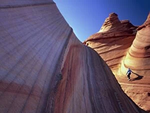
Vermillion Cliffs National Monument, Arizona. USA. Hiker on cross-bedded sandstone. South Coyote Buttes. Paria-Vermillion Cliffs Wilderness. MR